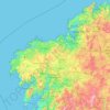
Topografische Karten Galicia
Klicken Sie auf eine Karte, um ihre Topografie, ihre Höhe und ihr Relief anzuzeigen.

Santiago de Compostela
The cathedral borders the main plaza of the old and well-preserved city. According to medieval legend, the remains of the apostle James were brought to Galicia for burial; in 813, the light of a bright star guided a shepherd who was watching his flock at night to the burial site in Santiago de Compostela. This…
Durchschnittliche Höhe: 248 m


O Saviñao
Spain > Galicia > Terra de Lemos
The municipality O Saviñao is located in the Ribeira Sacra, in the district of Terra de Lemos, located in the southern part of the province of Lugo, bordered by the municipalities of Pardela and Taboada to the north, Pantón to the south and east, Monforte de Lemos and Vault and west Taboada and Chantada. The…
Durchschnittliche Höhe: 537 m


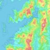
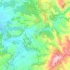
Vigo
Vigo has a transitional climate between the oceanic climate "Cfb" and the warm-summer Mediterranean climate "Csb" according to the Köppen climate classification. Although Vigo is the rainiest city in Galicia, with its noticeable drying trend in the summer, Vigo's climate is more similar to the variant of the…
Durchschnittliche Höhe: 121 m

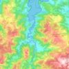
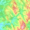

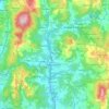







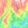

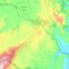
Cualedro
Cualedro is a municipality in the province of Ourense, in the autonomous community of Galicia, Spain. It belongs to the comarca of Verín. Its population was 1,792 in 2016. The municipality has an area of 117.6 km. The elevation level is 843 meters.
Durchschnittliche Höhe: 705 m
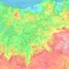


Santiago de Compostela
Spain > Galicia > Santiago > Santiago de Compostela
According to a medieval legend, the remains of the apostle James, son of Zebedee were brought to Galicia for burial, where they were lost. Eight hundred years later the light of a bright star guided a shepherd, Pelagius the Hermit, who was watching his flock at night to the burial site in Santiago de…
Durchschnittliche Höhe: 260 m

Abadín
Abadín is situated in the north-east of Terra Chá. The municipality is crossed by the Serra do Xistral, the Cordal de Neda, and the rivers Labrada and Abadín. The mean elevation is of 500 m, and the highest point is Lombo Pequeno at 1015 m.
Durchschnittliche Höhe: 547 m

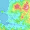
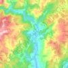
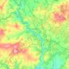
Lugo
The town lies on a hill surrounded by the rivers Miño, Rato and Chanca. The difference in altitude between the city centre and the river banks is considerable: the former being at an altitude of 465 meters above sea level, whilst the Miño River Walk is at an altitude of only 364 metres (1,194 feet). The…
Durchschnittliche Höhe: 495 m


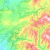
Samos
Samos is near the eastern mountains of Galicia (the mountains of Lóuzara, Serra do Oribio and Mountains of Albola). The mean altitude is over 700 m and the highest elevation is the mountain of O Oribio at 1,443 m. The Sarria River, a tributary of the Miño River, collects water from the western slopes of the…
Durchschnittliche Höhe: 742 m




Castro de Rei
Castro de Rei is located in the comarca of the Terra Cha. This factor determines the most of their socioeconomic characteristics. Its average altitude is between 400 and 500 meters. In the east the terrain becomes more rugged due to its proximity to the eastern mountains. The elevation of the Montes dos…
Durchschnittliche Höhe: 505 m