
Topografische Karte Strangford Lough
Interaktive Karte
Klicken Sie auf die Karte, um die Höhe anzuzeigen.
Über diese Karte
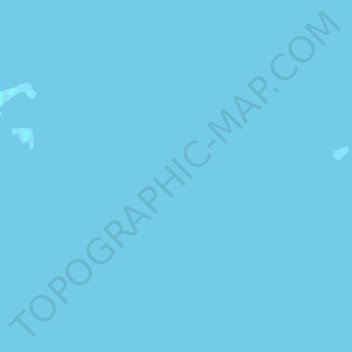
Name: Topografische Karte Strangford Lough, Höhe, Relief.
Ort: Strangford Lough, Belfast, Northern Ireland, United Kingdom (54.49000 -5.61000 54.51000 -5.59000)
Durchschnittliche Höhe: 0 m
Minimale Höhe: -1 m
Maximale Höhe: 3 m
Andere topografische Karten
Klicken Sie auf eine Karte, um ihre Topografie, ihre Höhe und ihr Relief anzuzeigen.
Cavehill
United Kingdom > Northern Ireland > Belfast
Cavehill, Belfast, County Antrim, Northern Ireland, BT36 7PN, United Kingdom
Durchschnittliche Höhe: 169 m
The Maidens
United Kingdom > Northern Ireland > Belfast
The Maidens, Belfast, Northern Ireland, United Kingdom
Durchschnittliche Höhe: 0 m
Cloghcor
United Kingdom > Northern Ireland > Belfast
Cloghcor, Belfast, County Antrim, Northern Ireland, United Kingdom
Durchschnittliche Höhe: 295 m
Slemish
United Kingdom > Northern Ireland > Belfast
Slemish, Belfast, County Antrim, Northern Ireland, United Kingdom
Durchschnittliche Höhe: 249 m