
Topografische Karte Redwood Shores
Interaktive Karte
Klicken Sie auf die Karte, um die Höhe anzuzeigen.
Über diese Karte
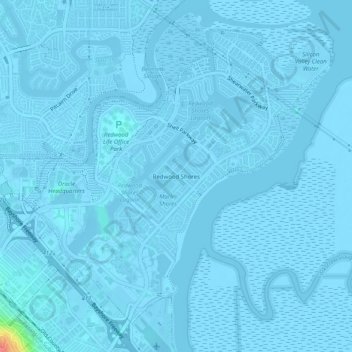
Name: Topografische Karte Redwood Shores, Höhe, Relief.
Durchschnittliche Höhe: 0 m
Minimale Höhe: -6 m
Maximale Höhe: 72 m
Andere topografische Karten
Klicken Sie auf eine Karte, um ihre Topografie, ihre Höhe und ihr Relief anzuzeigen.
Farm Hills
United States > California > San Mateo County > Redwood City
Farm Hills, Redwood City, San Mateo County, CAL Fire Northern Region, California, 94062, United States
Durchschnittliche Höhe: 103 m
Redwood Junction
United States > California > San Mateo County > Redwood City
Redwood Junction, Redwood City, San Mateo County, CAL Fire Northern Region, California, 94063, United States
Durchschnittliche Höhe: 9 m
Redwood City
United States > California > San Mateo County > Redwood City
Redwood City, San Mateo County, California, 94063, United States
Durchschnittliche Höhe: 101 m