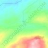
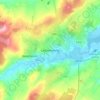
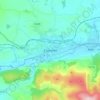
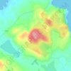
Topografische Karte Kilranelagh
Klicken Sie auf die Karte, um die Höhe anzuzeigen.
Über diese Karte

Name: Topografische Karte Kilranelagh, Höhe, Relief.
Durchschnittliche Höhe: 212 m
Minimale Höhe: 123 m
Maximale Höhe: 379 m
Andere topografische Karten
Klicken Sie auf eine Karte, um ihre Topografie, ihre Höhe und ihr Relief anzuzeigen.


















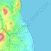
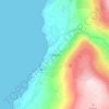
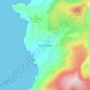
Greystones
Greystones is located south of the site of an ancient castle of the Barony of Rathdown. There was a hamlet which, like Rathdown Castle, was known as Rathdown, and which appeared on a 1712 map. This site occupied an area now known as the Grove, north of Greystones harbour, but only the ruins of a chapel, St.…
Durchschnittliche Höhe: 49 m
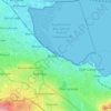







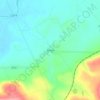


Donacarney
Ireland > County Meath > The Municipal District of Laytown — Bettystown
Durchschnittliche Höhe: 14 m