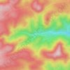
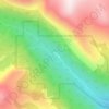
Topografische Karte Jamestown
Klicken Sie auf die Karte, um die Höhe anzuzeigen.
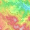
Jamestown
Jamestown is in central Boulder County at 40°6′56″N 105°23′15″W / 40.11556°N 105.38750°W / 40.11556; -105.38750 (40.115485, −105.387531). It lies along James Creek within the Front Range of the Colorado Rockies, with access via James Canyon Drive, which leads east 8 miles (13 km) to U.S. Highway 36 in Altona and west 6.5 miles (10.5 km) to State Highway 72 (the Peak to Peak Highway) near Peaceful Valley. Jamestown's elevation is 6,920 feet (2,110 m) above sea level.
Über diese Karte
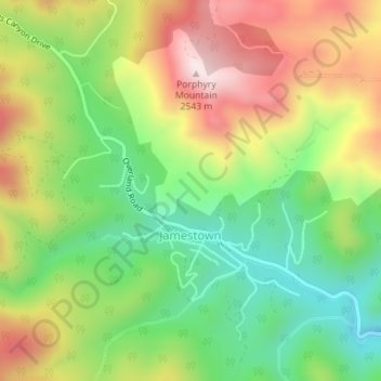
Name: Topografische Karte Jamestown, Höhe, Relief.
Ort: Jamestown, Boulder County, Colorado, United States (40.10882 -105.40636 40.12848 -105.37305)
Durchschnittliche Höhe: 2.271 m
Minimale Höhe: 2.057 m
Maximale Höhe: 2.541 m
Andere topografische Karten
Klicken Sie auf eine Karte, um ihre Topografie, ihre Höhe und ihr Relief anzuzeigen.
Lafayette
United States > Colorado > Boulder County > Lafayette > Lafayette
Durchschnittliche Höhe: 1.597 m
Boulder
United States > Colorado > Boulder County > Boulder
Boulder is located at the base of the foothills of the Rocky Mountains, at an elevation of 5,430 feet (1,655 m) above sea level. Boulder is 25 miles (40 km) northwest of the Colorado State Capitol in Denver. It is home of the main campus of the University of Colorado, the state's largest university.
Durchschnittliche Höhe: 1.977 m
Seven Hills
United States > Colorado > Boulder County > Boulder > Seven Hills
Durchschnittliche Höhe: 1.985 m