

Topografische Karten Oldham
Klicken Sie auf eine Karte, um ihre Topografie, ihre Höhe und ihr Relief anzuzeigen.
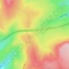

Oldham
United Kingdom > England > Oldham
By 1756, Oldham had emerged as centre of the hatting industry in England. The rough felt used in the production process is the origin of the term "Owdham Roughyed" a nickname for people from Oldham. It was not until the last quarter of the 18th century that Oldham changed from being a cottage industry township…
Durchschnittliche Höhe: 173 m

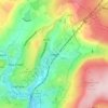

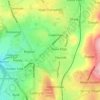

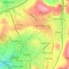


Royton
United Kingdom > England > Oldham
Described in Samuel Lewis's A Topographical Dictionary of England (1848) as being in "aspect rather wild", Royton lies in a shallow valley amongst undulating land. The sources of the rivers Irk and Beal are to the northeast and east respectively. The Irk meanders southwesterly into Chadderton, and then onwards…
Durchschnittliche Höhe: 181 m
