

Topografische Karten Davis County
Klicken Sie auf eine Karte, um ihre Topografie, ihre Höhe und ihr Relief anzuzeigen.
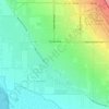


Antelope Island
United States > Utah > Davis County
The island is accessible via a 7-mile causeway from Syracuse in Davis County. Access from Interstate 15 is via exit 332, then west along Antelope Drive (SR-108). The island's shore (all but west side of the island) is mostly flat with beaches and plains to the base of the mountains on the island. These steep…
Durchschnittliche Höhe: 1.306 m
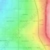
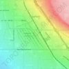
Clearfield
United States > Utah > Davis County
Clearfield City has a total land area of 7.8 square miles (20 km2), and a population of 31,909 as of the 2020 Census, making it the fifth largest city in Davis County, behind Layton, Bountiful, Kaysville, and Syracuse. This creates a population density of 1498.1 people per square kilometer or 3860.5 people per…
Durchschnittliche Höhe: 1.358 m
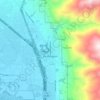
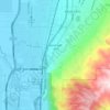
Farmington
United States > Utah > Davis County > Farmington > Farmington
Durchschnittliche Höhe: 1.595 m


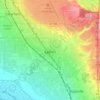

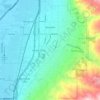
Mount Lebannon Acres
United States > Utah > Davis County > Centerville > Rosedale
Durchschnittliche Höhe: 1.464 m



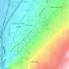
Mountains Meadows
United States > Utah > Davis County > North Salt Lake
Durchschnittliche Höhe: 1.411 m