Topografische Karten Aklan
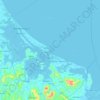
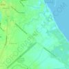
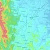
Klicken Sie auf eine Karte, um ihre Topografie, ihre Höhe und ihr Relief anzuzeigen.



















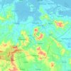


Nabas
The Municipality of Nabas is considered as rolling terrain and rugged terrain land topographic formation. It has an elongated land area situated along the Northwestern Panay Peninsula, with 21-kilometer coastline facing Sibuyan Sea, and with such a large span of municipal waters, approximately 300 square…
Durchschnittliche Höhe: 71 m


Malinao
There was no concentration of land holdings by few families, unlike in other areas of the country. Original families in Malinao have their own pieces of land to work on. The land west of the Aklan River, because of its topography, must have escaped the encomienderos and hacienderos in the early part of Spanish…
Durchschnittliche Höhe: 89 m