

Topografische Karten Bohol
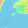
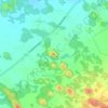
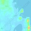
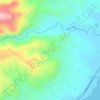
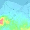
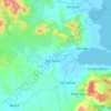
Klicken Sie auf eine Karte, um ihre Topografie, ihre Höhe und ihr Relief anzuzeigen.




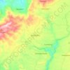
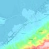
Calape
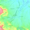
Most of the coastal area is a fairly level plain that gradually rises into rolling hills of coralline limestone. The highest point in Calape is Mount Candungao in the eastern portion of the town, with an elevation of 150 metres (500 ft) above sea level.
Durchschnittliche Höhe: 46 m


























Über diesen Ort
Panglao • Dauis • Anda • Mabini • Duero • Inabanga • Candijay • Maribojoc • Jagna • Loon • Baclayon • Bien Unido • Corella • Candajec • Clarin • Ubay • Calape • Trinidad • Guindulman • Loboc • Carmen • Talibon • Loay • Pilar • Sierra Bullones • Del Pilar • Canigaan • Jagoliao • Garcia Hernandez • Guindulman • Tugas • President Carlos P. Garcia • Bunga Mar • Carlos P. Garcia • Carlos P. Garcia • Tomoc • Buenos Aires • Cagting • Batasan • Paraiso • San Miguel • Batuan • Jagna • Tagbilaran