
Topografische Karte Mount Isarog
Klicken Sie auf die Karte, um die Höhe anzuzeigen.
Mount Isarog
Mount Isarog is an active stratovolcano located in the province of Camarines Sur, Philippines, on the island of Luzon. The mountain has active fumaroles and hot springs. It has an elevation of 2,011 m (6,598 ft) above mean sea level.
Über diese Karte
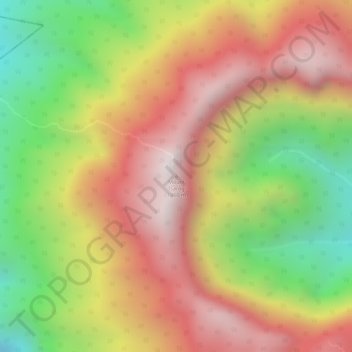
Name: Topografische Karte Mount Isarog, Höhe, Relief.
Durchschnittliche Höhe: 1.565 m
Minimale Höhe: 1.062 m
Maximale Höhe: 1.960 m