
Topografische Karte Zaidpur
Interaktive Karte
Klicken Sie auf die Karte, um die Höhe anzuzeigen.
Über diese Karte
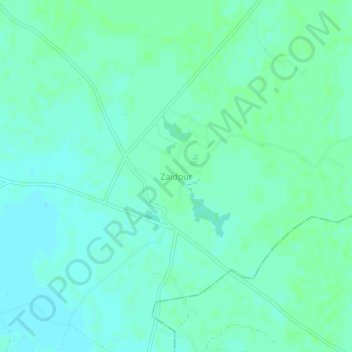
Name: Topografische Karte Zaidpur, Höhe, Relief.
Durchschnittliche Höhe: 116 m
Minimale Höhe: 112 m
Maximale Höhe: 119 m
Zaidpur lies at 26°50′N 81°20′E / 26.83°N 81.33°E / 26.83; 81.33 in India's north east. Its nearest service centre is Nawabganj, approximately 20 km to the northwest and its nearest city is Lucknow, approximately 30 km to the west. Faizabad is further away to the east. Delhi and Agra lie to the west. The border with Nepal lies approximately 150 km to the northeast. Zaidpur's elevation is 109 metres (357 feet).
Andere topografische Karten
Klicken Sie auf eine Karte, um ihre Topografie, ihre Höhe und ihr Relief anzuzeigen.
Masauli
India > Uttar Pradesh > Nawabganj
Masauli, Nawabganj, Barabanki District, Uttar Pradesh, 225203, India
Durchschnittliche Höhe: 118 m