
Topografische Karte Entebbe City
Interaktive Karte
Klicken Sie auf die Karte, um die Höhe anzuzeigen.
Über diese Karte
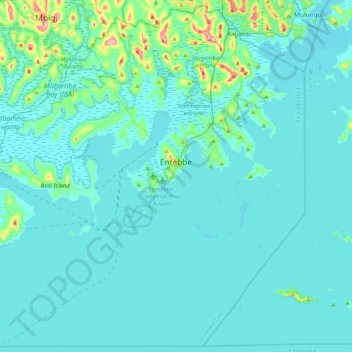
Name: Topografische Karte Entebbe City, Höhe, Relief.
Ort: Entebbe City, Wakiso, Central Region, Uganda (-0.15304 32.21198 0.24197 32.61936)
Durchschnittliche Höhe: 1.146 m
Minimale Höhe: 1.129 m
Maximale Höhe: 1.328 m
Entebbe experiences tropical rainforest climate (Af) according to the Köppen climate classification as the city has no real dry season throughout the year. The driest season is January with precipitation total 65 millimetres (2.6 in), while the wettest season is April with precipitation total 256 millimetres (10.1 in). The temperature is moderated by the altitude. The hottest month is February with average temperature 22.8 °C (73.0 °F), while the coolest month is July with average temperature 20.6 °C (69.1 °F).
Andere topografische Karten
Klicken Sie auf eine Karte, um ihre Topografie, ihre Höhe und ihr Relief anzuzeigen.