
Topografische Karte Shebin el Qanater
Interaktive Karte
Klicken Sie auf die Karte, um die Höhe anzuzeigen.
Über diese Karte
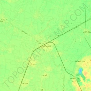
Name: Topografische Karte Shebin el Qanater, Höhe, Relief.
Ort: Shebin el Qanater, Al Qalyubiya, 13711, Egypt (30.27253 31.27760 30.35253 31.35760)
Durchschnittliche Höhe: 15 m
Minimale Höhe: 0 m
Maximale Höhe: 28 m
Andere topografische Karten
Klicken Sie auf eine Karte, um ihre Topografie, ihre Höhe und ihr Relief anzuzeigen.
Shubra al Khayma
Shubra al Khayma, Al Qalyubiya, 13771, Egypt
Durchschnittliche Höhe: 45 m
Mansuret Namul
Egypt > Al Qalyubiya > Mansuret Namul
Mansuret Namul, Al Qalyubiya, 13737, Egypt
Durchschnittliche Höhe: 14 m