
Topografische Karte Laguna Caldera
Klicken Sie auf die Karte, um die Höhe anzuzeigen.
Laguna Caldera
Laguna Caldera is a potentially active volcanic caldera and a geographical depression in Rizal, Philippines. It is broadly elliptical in shape, with dimensions of 20 by 10 km. It has a summit (Mount Sembrano) elevation of 743 metres (2,438 ft). The caldera forms the middle lobe of Laguna de Bay, bound by the Morong Peninsula and Talim Island to the west, and the Jalajala Peninsula to the east.
Über diese Karte
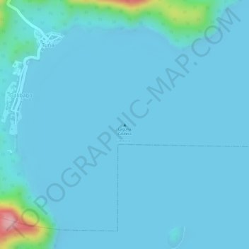
Name: Topografische Karte Laguna Caldera, Höhe, Relief.
Ort: Laguna Caldera, Cardona, Rizal, Calabarzon, Philippines (14.32300 121.25260 14.32310 121.25270)
Durchschnittliche Höhe: 14 m
Minimale Höhe: -4 m
Maximale Höhe: 191 m