
Topografische Karte Jingpo Lake
Interaktive Karte
Klicken Sie auf die Karte, um die Höhe anzuzeigen.
Jingpo Lake
In the southern side of the lake, there are river deltas formed in the estuary of Mudan River and its tributaries. This topography supports a large number of plankton to survive, so it is suitable for the growth of fish. There are various kinds of freshwater fish in Jingpo Lake. The most famous one is Red-tailed fish, also known as White Cloud Mountain minnow (Tanichthys albonubes).
Über diese Karte
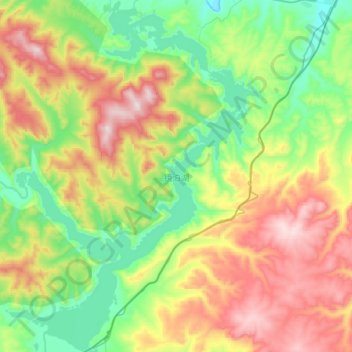
Name: Topografische Karte Jingpo Lake, Höhe, Relief.
Durchschnittliche Höhe: 523 m
Minimale Höhe: 290 m
Maximale Höhe: 909 m