
Vielen Dank für die Unterstützung dieser Website ❤️
Spenden
Spenden
Topografische Karte Ajinkyatara Fort
Klicken Sie auf die Karte, um die Höhe anzuzeigen.
Vielen Dank für die Unterstützung dieser Website ❤️
Spenden
Spenden
Ajinkyatara Fort
Ajinkyatara Fort, also known as the "Fort of the Sapta-Rishi," is a historical hill fort located on Ajinkyatara Mountain, one of the seven mountains surrounding the city of Satara in the Sahyadri Mountains of Maharashtra, India. Situated at an altitude of 3,300 feet, the fort overlooks Satara City and is considered one of the major heritage sites in Maharashtra.
Vielen Dank für die Unterstützung dieser Website ❤️
Spenden
Spenden
Über diese Karte
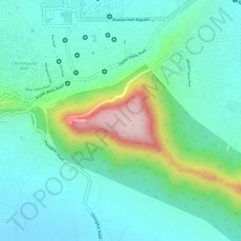
Name: Topografische Karte Ajinkyatara Fort, Höhe, Relief.
Durchschnittliche Höhe: 764 m
Minimale Höhe: 675 m
Maximale Höhe: 1.008 m
Vielen Dank für die Unterstützung dieser Website ❤️
Spenden
Spenden