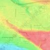
Topografische Karte Waterfront Park
Klicken Sie auf die Karte, um die Höhe anzuzeigen.
Waterfront Park
A 12-foot (3.7 m) stone and bronze structure called Headwaters (or sometimes the Headwaters Wall) designed by artist Larry Kirkland was installed at Waterfront Park in August 2019. It is an interactive water feature that cost $3.5 million to construct. Headwaters features a cast bronze bas relief map of the Columbia Basin on the east side. The opposite side has an "engraved stone with a topographical map of the Columbia's origins", down which water falls into a shallow wading pool. According to KOIN, "one-inch-deep 'river' flows 150 feet along a molded riverbed dotted with stacks of granite representing each of the Columbia's tributaries". In September, The Columbian reported on the "unsightly" white deposits left by water. The water feature is maintained by the Vancouver Parks and Recreation Department.
Über diese Karte
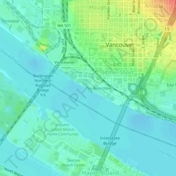
Name: Topografische Karte Waterfront Park, Höhe, Relief.
Durchschnittliche Höhe: 13 m
Minimale Höhe: -3 m
Maximale Höhe: 52 m
Andere topografische Karten
Klicken Sie auf eine Karte, um ihre Topografie, ihre Höhe und ihr Relief anzuzeigen.