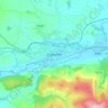
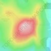
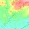
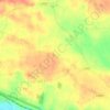
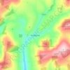
Topografische Karte Clogheen
Klicken Sie auf die Karte, um die Höhe anzuzeigen.
Clogheen
Lewis' Topographical Dictionary of 1837 notes Clogheen as being located in the barony of Iffa and Offa West and reported that there were 1,928 inhabitants, a military barracks for the accommodation of two troops of cavalry, an extensive brewery, plus seven flour mills in the town and neighbourhood.
Über diese Karte
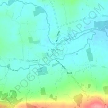
Name: Topografische Karte Clogheen, Höhe, Relief.
Durchschnittliche Höhe: 65 m
Minimale Höhe: 44 m
Maximale Höhe: 135 m
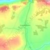
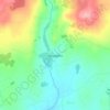
Andere topografische Karten
Klicken Sie auf eine Karte, um ihre Topografie, ihre Höhe und ihr Relief anzuzeigen.