

Topografische Karte Anupgarh
Klicken Sie auf die Karte, um die Höhe anzuzeigen.
Anupgarh
Anupgarh has an average elevation of 155 metres (508 feet), and is very close to the border with Pakistan. The fort at Anupgarh was built about 1689 by the Mughal governor to help suppress the local Bhati Rajputs who were rebelling.
Über diese Karte
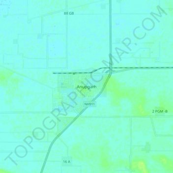
Name: Topografische Karte Anupgarh, Höhe, Relief.
Durchschnittliche Höhe: 155 m
Minimale Höhe: 152 m
Maximale Höhe: 163 m