
Topografische Karte Tashkorgan Town
Interaktive Karte
Klicken Sie auf die Karte, um die Höhe anzuzeigen.
Tashkorgan Town
British archaeologist Aurel Stein argued that, judging from the topography and remains found around Tashkurgan, the fort and associated settlements had clearly been central to the broader Sarikol area, controlling routes from the Oxus to the oases of southern Turkestan.
Über diese Karte
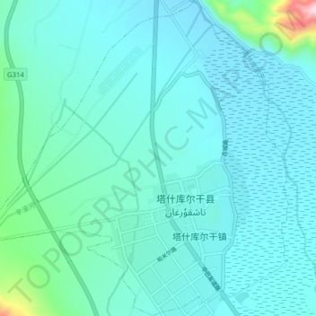
Name: Topografische Karte Tashkorgan Town, Höhe, Relief.
Durchschnittliche Höhe: 3.109 m
Minimale Höhe: 3.046 m
Maximale Höhe: 3.712 m