
Topografische Karte Alturas
Interaktive Karte
Klicken Sie auf die Karte, um die Höhe anzuzeigen.
Über diese Karte
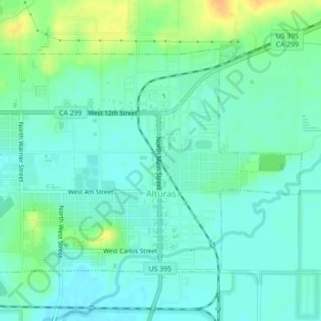
Name: Topografische Karte Alturas, Höhe, Relief.
Durchschnittliche Höhe: 1.337 m
Minimale Höhe: 1.327 m
Maximale Höhe: 1.358 m
Alturas is located on the Pit River, east of the center of Modoc County, at an elevation of 4370 feet (1332 m). As the county seat, the town is a home to regional government offices, including a California Highway Patrol office and a state Department of Motor Vehicles office.