
Topografische Karte Davis
Interaktive Karte
Klicken Sie auf die Karte, um die Höhe anzuzeigen.
Über diese Karte
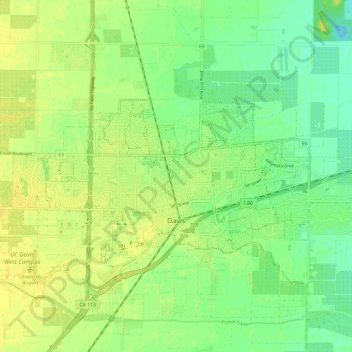
Name: Topografische Karte Davis, Höhe, Relief.
Ort: Davis, Yolo County, California, United States of America (38.53489 -121.79407 38.57559 -121.67550)
Durchschnittliche Höhe: 14 m
Minimale Höhe: 3 m
Maximale Höhe: 23 m
Davis lies in the Sacramento Valley, the northern portion of the Central Valley, in Northern California, at an elevation of about 52 feet (16 m) above sea level.