
Topografische Karte Mars Hill
Interaktive Karte
Klicken Sie auf die Karte, um die Höhe anzuzeigen.
Über diese Karte
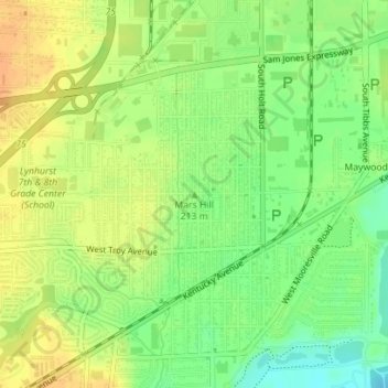
Name: Topografische Karte Mars Hill, Höhe, Relief.
Durchschnittliche Höhe: 216 m
Minimale Höhe: 198 m
Maximale Höhe: 230 m
Andere topografische Karten
Klicken Sie auf eine Karte, um ihre Topografie, ihre Höhe und ihr Relief anzuzeigen.
Indianapolis
United States > Indiana > Indianapolis
Indianapolis, Marion County, Indiana, 46204, United States
Durchschnittliche Höhe: 241 m
Vertland
United States > Indiana > Indianapolis > Vertland
Vertland, Indianapolis, Indiana, 46256, United States
Durchschnittliche Höhe: 250 m
Lakeside
United States > Indiana > Indianapolis > Lakeside
Lakeside, Indianapolis, Indiana, 46278, United States
Durchschnittliche Höhe: 257 m
Sunnyview
United States > Indiana > Indianapolis > Sunnyview
Sunnyview, Indianapolis, Marion, Indiana, 46203, United States
Durchschnittliche Höhe: 248 m
Farleys Addition
United States > Indiana > Indianapolis > Farleys Addition
Farleys Addition, Indianapolis, Indiana, 46214, United States
Durchschnittliche Höhe: 235 m