
Topografische Karte Ballyshannon
Interaktive Karte
Klicken Sie auf die Karte, um die Höhe anzuzeigen.
Über diese Karte
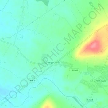
Name: Topografische Karte Ballyshannon, Höhe, Relief.
Durchschnittliche Höhe: 105 m
Minimale Höhe: 82 m
Maximale Höhe: 167 m
Andere topografische Karten
Klicken Sie auf eine Karte, um ihre Topografie, ihre Höhe und ihr Relief anzuzeigen.
Collin
Collin, Carrigeen ED, The Municipal District of Athy, Comté de Kildare, Leinster, Irlande
Durchschnittliche Höhe: 169 m
Reeves
Reeves, Donaghcumper ED, The Municipal District of Celbridge — Leixlip, Comté de Kildare, Leinster, Irlande
Durchschnittliche Höhe: 61 m
Rahin
Rahin, Carrick ED, The Municipal District of Clane — Maynooth, Comté de Kildare, Leinster, Irlande
Durchschnittliche Höhe: 74 m
Athy
Athy, Athy Urban East ED, The Municipal District of Athy, Comté de Kildare, Leinster, R14 XD30, Irlande
Durchschnittliche Höhe: 61 m