
Topografische Karte Farleys Addition
Interaktive Karte
Klicken Sie auf die Karte, um die Höhe anzuzeigen.
Über diese Karte
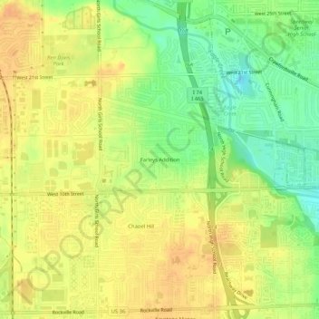
Name: Topografische Karte Farleys Addition, Höhe, Relief.
Durchschnittliche Höhe: 235 m
Minimale Höhe: 214 m
Maximale Höhe: 248 m
Andere topografische Karten
Klicken Sie auf eine Karte, um ihre Topografie, ihre Höhe und ihr Relief anzuzeigen.
Drexel Gardens
United States > Indiana > Marion County > Indianapolis
Drexel Gardens, Indianapolis, Marion County, Indiana, 46241, United States
Durchschnittliche Höhe: 226 m
Wolfington
United States > Indiana > Marion County > Indianapolis
Wolfington, Indianapolis, Marion County, Indiana, 46228, United States
Durchschnittliche Höhe: 230 m
Fox Hollow
United States > Indiana > Marion County > Indianapolis > Fox Hollow
Fox Hollow, Indianapolis, Marion County, Indiana, 46239, United States
Durchschnittliche Höhe: 252 m