

Topografische Karte Marawi
Klicken Sie auf die Karte, um die Höhe anzuzeigen.
Marawi
Marawi is located upon the shores of Lake Lanao. It is primarily inhabited by the Maranao people. The city is also called the "summer capital of the south" due to its higher elevation and cooler climate, a nickname it shares with Malaybalay.
Über diese Karte
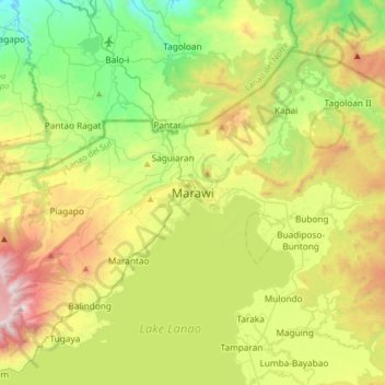
Name: Topografische Karte Marawi, Höhe, Relief.
Ort: Marawi, Lanao del Sur, Bangsamoro, 9700, Philippines (7.84473 124.12544 8.16473 124.44544)
Durchschnittliche Höhe: 707 m
Minimale Höhe: 78 m
Maximale Höhe: 1.798 m