
Topografische Karte Salmons Brook
Interaktive Karte
Klicken Sie auf die Karte, um die Höhe anzuzeigen.
Salmons Brook
It is not known at present whether Salmons Brook, and other west bank tributaries such as Pymmes Brook and Cuffley Brook, followed valleys which had been in existence before the ice sheet covered the land, or whether they fashioned a substantially different landscape after the ice retreated. But it is known that today's tributaries of the upper Lea, such as the Rivers Mimram and Stort, follow broadly the same lines as pre-glaciation valleys, so, by analogy, it is quite possible that elements at least of the pre-glaciation topography of the lower Lea basin are reflected in today's relief.
Über diese Karte
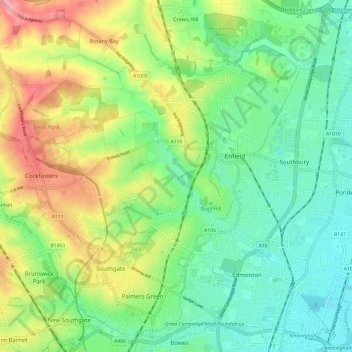
Name: Topografische Karte Salmons Brook, Höhe, Relief.
Durchschnittliche Höhe: 42 m
Minimale Höhe: 7 m
Maximale Höhe: 104 m