
Topografische Karte Catshill
Klicken Sie auf die Karte, um die Höhe anzuzeigen.
Über diese Karte
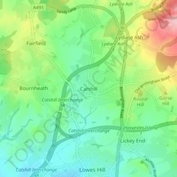
Name: Topografische Karte Catshill, Höhe, Relief.
Durchschnittliche Höhe: 151 m
Minimale Höhe: 96 m
Maximale Höhe: 275 m
Andere topografische Karten
Klicken Sie auf eine Karte, um ihre Topografie, ihre Höhe und ihr Relief anzuzeigen.
Beacon Wood
United Kingdom > England > Worcestershire > Bromsgrove > Lydiate Ash
Durchschnittliche Höhe: 210 m
Beoley CP
United Kingdom > England > Worcestershire > Bromsgrove > Holt End
Durchschnittliche Höhe: 134 m
Clent
United Kingdom > England > Worcestershire > Bromsgrove
Because of the hilly topography of the parish the village consists of several distinct hamlets. These are Upper Clent (Clatterbach and the area around the parish church of St. Leonard), Lower Clent, Holy Cross, Adams Hill and Walton Pool. The Civil Parish of Clent also included part of the village of West…
Durchschnittliche Höhe: 184 m
Cofton Hackett CP
United Kingdom > England > Worcestershire > Bromsgrove
Durchschnittliche Höhe: 200 m