
Topografische Karte Wilson Wisely Ditch
Interaktive Karte
Klicken Sie auf die Karte, um die Höhe anzuzeigen.
Über diese Karte
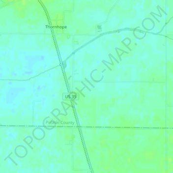
Name: Topografische Karte Wilson Wisely Ditch, Höhe, Relief.
Ort: Wilson Wisely Ditch, Pulaski County, Indiana, USA (40.91629 -86.52581 40.91672 -86.52087)
Durchschnittliche Höhe: 220 m
Minimale Höhe: 216 m
Maximale Höhe: 225 m
Andere topografische Karten
Klicken Sie auf eine Karte, um ihre Topografie, ihre Höhe und ihr Relief anzuzeigen.
Middle Fork of Wildcat Creek
Middle Fork of Wildcat Creek, Clinton County, Indiana, 46065, USA
Durchschnittliche Höhe: 215 m
Lake Windemere
Lake Windemere, Sedgemoor Circle, North Augusta Addition, Carmel, Hamilton County, Indiana, 46032, USA
Durchschnittliche Höhe: 273 m