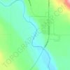
Topografische Karte Millarville
Klicken Sie auf die Karte, um die Höhe anzuzeigen.
Über diese Karte
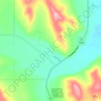
Name: Topografische Karte Millarville, Höhe, Relief.
Ort: Millarville, Foothills County, Alberta, T0L 1K0, Canada (50.73815 -114.34538 50.77815 -114.30538)
Durchschnittliche Höhe: 1.220 m
Minimale Höhe: 1.168 m
Maximale Höhe: 1.323 m
Andere topografische Karten
Klicken Sie auf eine Karte, um ihre Topografie, ihre Höhe und ihr Relief anzuzeigen.
Highwood River
Canada > Alberta > Foothills County > Village of Longview
Durchschnittliche Höhe: 1.232 m