
Topografische Karte Tranquillity
Interaktive Karte
Klicken Sie auf die Karte, um die Höhe anzuzeigen.
Tranquillity
Tranquillity is a census-designated place (CDP) in Fresno County, California, United States. The population was 799 at the 2010 census, down from 813 at the 2000 census. Tranquillity High School is the only high school in Tranquillity. Tranquillity is located 10 miles (16 km) southeast of Mendota, at an elevation of 164 feet (50 m).
Über diese Karte
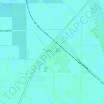
Name: Topografische Karte Tranquillity, Höhe, Relief.
Durchschnittliche Höhe: 49 m
Minimale Höhe: 47 m
Maximale Höhe: 51 m