
Topografische Karte Tre Cime di Lavaredo - Drei Zinnen
Interaktive Karte
Klicken Sie auf die Karte, um die Höhe anzuzeigen.
Über diese Karte
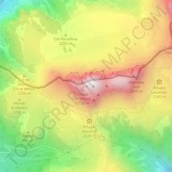
Name: Topografische Karte Tre Cime di Lavaredo - Drei Zinnen, Höhe, Relief.
Durchschnittliche Höhe: 2.242 m
Minimale Höhe: 1.667 m
Maximale Höhe: 2.813 m
Until 1919 the peaks formed part of the border between Italy and Austria-Hungary. Now they lie on the border between the Italian provinces of South Tyrol and Belluno and still are a part of the linguistic boundary between German-speaking and Italian-speaking majorities. The Cima Grande has an elevation of 2,999 metres (9,839 ft). It stands between the Cima Piccola, at 2,857 metres (9,373 ft), and the Cima Ovest, at 2,973 metres (9,754 ft).