
Topografische Karte Machail
Klicken Sie auf die Karte, um die Höhe anzuzeigen.
Machail
Machail is a small village at an altitude of 2800m in the Padder Valley of Kishtwar district in Jammu region, 290 km from Jammu city and 66 km from Kishtwar Usually people take 2 days to reach the shrine by foot. On the way there are villages where they can spend the night. The shrine is inaccessible during the winter months of December, January and February.
Über diese Karte
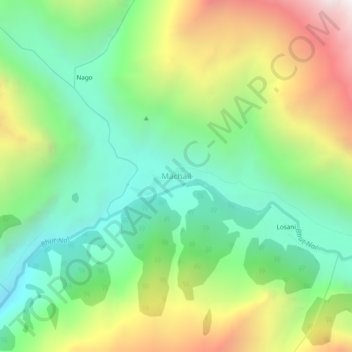
Name: Topografische Karte Machail, Höhe, Relief.
Ort: Machail, Atholi (Paddar), Kishtwar, Jammu and Kashmir, India (33.39736 76.32450 33.43736 76.36450)
Durchschnittliche Höhe: 3.199 m
Minimale Höhe: 2.539 m
Maximale Höhe: 4.336 m