
Vielen Dank für die Unterstützung dieser Website ❤️
Spenden
Spenden
Topografische Karte Camboulazet
Klicken Sie auf die Karte, um die Höhe anzuzeigen.
Vielen Dank für die Unterstützung dieser Website ❤️
Spenden
Spenden
Camboulazet
Le Viaur prend sa source à 1200 m d’altitude dans la région naturelle du Lévézou qui présente un relief vallonné, dans la commune de Vézins-de-Lévézou pour confluer, après avoir parcouru environ 168 km, avec l'Aveyron à 400 m d’altitude à Lacroix-Barrez, après avoir arrosé 30 communes.
Vielen Dank für die Unterstützung dieser Website ❤️
Spenden
Spenden
Über diese Karte
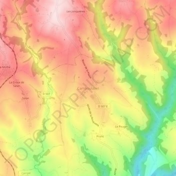
Name: Topografische Karte Camboulazet, Höhe, Relief.
Durchschnittliche Höhe: 595 m
Minimale Höhe: 403 m
Maximale Höhe: 726 m
Vielen Dank für die Unterstützung dieser Website ❤️
Spenden
Spenden