
Spenden
Topografische Karte Sheridan Lake
Klicken Sie auf die Karte, um die Höhe anzuzeigen.
Spenden
Über diese Karte
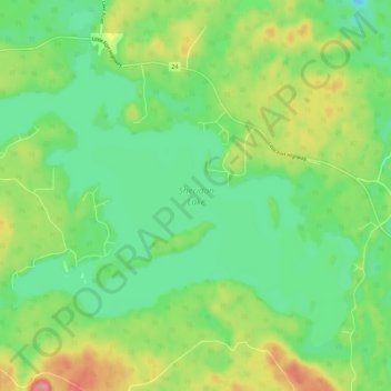
Name: Topografische Karte Sheridan Lake, Höhe, Relief.
Durchschnittliche Höhe: 1.127 m
Minimale Höhe: 1.095 m
Maximale Höhe: 1.184 m
Spenden
Andere topografische Karten
Klicken Sie auf eine Karte, um ihre Topografie, ihre Höhe und ihr Relief anzuzeigen.
Lone Butte
Canada > British Columbia > Cariboo Regional District > Area L (Lone Butte/Interlakes)
The northward advance of the Pacific Great Eastern Railway (PGE) rail head passed through Lone Butte in late April 1919. This construction camp had a large kitchen employing 25 cooks, of whom two received the Distinguished Conduct Medal and three the Military Medal during World War I. At an elevation of about…
Durchschnittliche Höhe: 1.159 m
Deka Lake
Canada > British Columbia > Cariboo Regional District > Area L (Lone Butte/Interlakes)
Durchschnittliche Höhe: 1.141 m
Interlakes
Canada > British Columbia > Cariboo Regional District > Area L (Lone Butte/Interlakes)
Durchschnittliche Höhe: 1.126 m