

Topografische Karte Standon Mill
Klicken Sie auf die Karte, um die Höhe anzuzeigen.
Über diese Karte
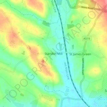
Name: Topografische Karte Standon Mill, Höhe, Relief.
Durchschnittliche Höhe: 119 m
Minimale Höhe: 92 m
Maximale Höhe: 165 m
Andere topografische Karten
Klicken Sie auf eine Karte, um ihre Topografie, ihre Höhe und ihr Relief anzuzeigen.

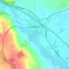
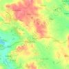
Fradswell
United Kingdom > England > Staffordshire > Stafford > Fradswell
Durchschnittliche Höhe: 143 m
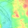

Barlaston and Rough Close Common
United Kingdom > England > Staffordshire > Stafford > Meir Heath
Durchschnittliche Höhe: 207 m

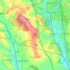


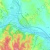

Aqualate Mere
United Kingdom > England > Staffordshire > Stafford > Forton
Durchschnittliche Höhe: 74 m


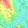


Whitgreave
United Kingdom > England > Staffordshire > Stafford > Great Bridgeford
Durchschnittliche Höhe: 113 m