
Vielen Dank für die Unterstützung dieser Website ❤️
Spenden
Spenden
Topografische Karte Undangaon
Klicken Sie auf die Karte, um die Höhe anzuzeigen.
Vielen Dank für die Unterstützung dieser Website ❤️
Spenden
Spenden
Über diese Karte
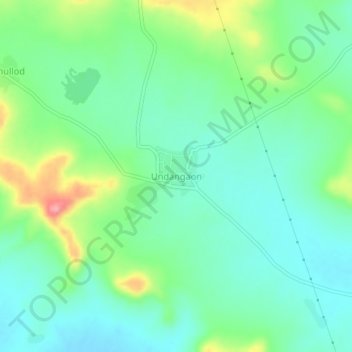
Name: Topografische Karte Undangaon, Höhe, Relief.
Ort: Undangaon, Sillod, Aurangabad, Maharashtra, India (20.43562 75.64271 20.47562 75.68271)
Durchschnittliche Höhe: 697 m
Minimale Höhe: 665 m
Maximale Höhe: 775 m
Vielen Dank für die Unterstützung dieser Website ❤️
Spenden
Spenden