
Vielen Dank für die Unterstützung dieser Website ❤️
Spenden
Spenden
Topografische Karte Teutônia
Klicken Sie auf die Karte, um die Höhe anzuzeigen.
Vielen Dank für die Unterstützung dieser Website ❤️
Spenden
Spenden
Teutônia
Harmony Lake is an artificial lake located at approximately 500 meters of altitude. One of the largest postcards of the municipality, its construction took place in the 1950s, led by Reinoldo Aschebrock, with the goal of storing water for the generation of electric energy, giving rise to the Cooperativa de Eletrificação Rural Teutônia Ltda (Certel), today the largest and oldest cooperative of its kind in Brazil.
Vielen Dank für die Unterstützung dieser Website ❤️
Spenden
Spenden
Über diese Karte
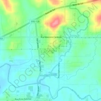
Name: Topografische Karte Teutônia, Höhe, Relief.
Durchschnittliche Höhe: 66 m
Minimale Höhe: 41 m
Maximale Höhe: 134 m
Vielen Dank für die Unterstützung dieser Website ❤️
Spenden
Spenden