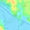
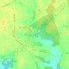
Topografische Karte Strumpshaw
Klicken Sie auf die Karte, um die Höhe anzuzeigen.
Strumpshaw
The village lies a little distance from the river, on the slopes of Strumpshaw Hill, the highest area of land in the Norfolk Broads. Because of its elevation, Strumpshaw hosted, from the late 1790s through to the mid-1810s, a repeater station in the shutter telegraph chain linking the Admiralty in London with Great Yarmouth. The Wherry Lines railway line running between Norwich and Great Yarmouth and Lowestoft runs through the parish. Trains call at Buckenham railway station at weekends only.
Über diese Karte
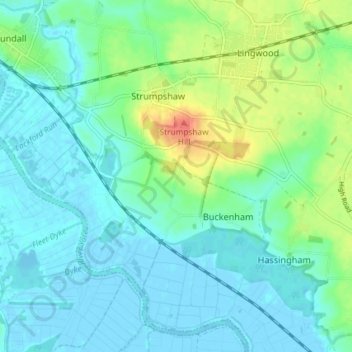
Name: Topografische Karte Strumpshaw, Höhe, Relief.
Durchschnittliche Höhe: 11 m
Minimale Höhe: -3 m
Maximale Höhe: 46 m
Andere topografische Karten
Klicken Sie auf eine Karte, um ihre Topografie, ihre Höhe und ihr Relief anzuzeigen.
New Rackheath
United Kingdom > England > Norfolk > Broadland > New Rackheath
Durchschnittliche Höhe: 28 m
Great Witchingham Village Hall Park
United Kingdom > England > Norfolk > Broadland > Lenwade > Great Witchingham
Durchschnittliche Höhe: 26 m
Haveringland Lake
United Kingdom > England > Norfolk > Broadland > Haveringland
Durchschnittliche Höhe: 39 m