
Topografische Karte Mariana Islands
Interaktive Karte
Klicken Sie auf die Karte, um die Höhe anzuzeigen.
Über diese Karte
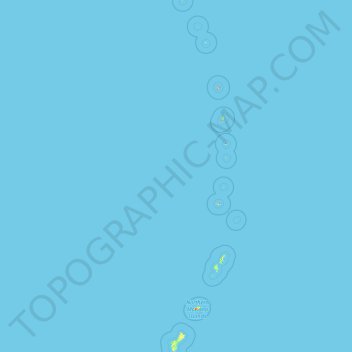
Name: Topografische Karte Mariana Islands, Höhe, Relief.
Durchschnittliche Höhe: 0 m
Minimale Höhe: 0 m
Maximale Höhe: 874 m
The island chain geographically consists of two subgroups, a northern group of ten volcanic main islands, all are currently uninhabited; and a southern group of five coralline limestone islands (Rota, Guam, Aguijan, Tinian and Saipan), all inhabited except Aguijan. In the northern volcanic group a maximum elevation of about 2,700 feet (820 m) is reached; there are craters showing signs of activity, and earthquakes are not uncommon. Coral reefs fringe the coasts of the southern isles, which are of slight elevation.
Andere topografische Karten
Klicken Sie auf eine Karte, um ihre Topografie, ihre Höhe und ihr Relief anzuzeigen.
Guam
United States > Guam > Chalan Pago-Ordot Municipality
Guam, Chalan Pago-Ordot Municipality, Guam, United States
Durchschnittliche Höhe: 26 m