
Spenden
Topografische Karte Piravom
Klicken Sie auf die Karte, um die Höhe anzuzeigen.
Spenden
Piravom
Piravom was reverted to panchayat status in 1992 after two years as a municipality because of skepticism that its classification as a municipality would attract higher tax rates and building regulation. However as modern municipal councils now have the authority to fix the tax rate and new building rule provisions are now applicable to special grade panchayats, the economic incentive for Piravom remaining a panchayat has disappeared. The local government of Piravom passed a unanimous resolution for elevation to municipality status. In 2015, the government of Kerala reclassified Piravom as a municipality.
Spenden
Über diese Karte
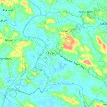
Name: Topografische Karte Piravom, Höhe, Relief.
Ort: Piravom, Muvattupuzha, Ernakulam district, Kerala, 686664, India (9.83337 76.45227 9.91337 76.53227)
Durchschnittliche Höhe: 23 m
Minimale Höhe: -1 m
Maximale Höhe: 111 m
Spenden