
Topografische Karte Qaidam Basin
Interaktive Karte
Klicken Sie auf die Karte, um die Höhe anzuzeigen.
Über diese Karte
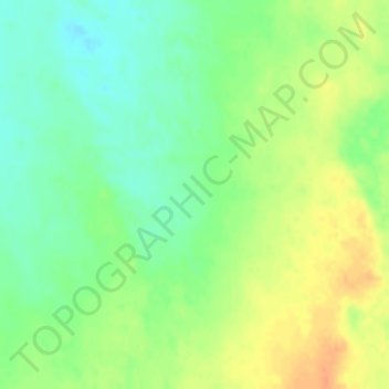
Name: Topografische Karte Qaidam Basin, Höhe, Relief.
Durchschnittliche Höhe: 2.742 m
Minimale Höhe: 2.724 m
Maximale Höhe: 2.762 m
Orographically, the Qaidam Basin is a comparatively low area in the northeastern part of the Tibetan Plateau. With an elevation of around 3,000 m (10,000 ft), Qaidam forms a kind of shelf between Tibet to the south (around 4,300 m or 14,000 ft) and Gansu to the north (around 1,100 m or 3,500 ft). A low water divide separates the Qaidam Basin proper from that of Qinghai Lake to the east. Despite this lower elevation, Qaidam is still high enough that its mean annual temperature is 2–4 °C (36–39 °F) despite lying on the same latitude as Algeria, Greece, and Virginia in the United States.