
Topografische Karte Candaba
Klicken Sie auf die Karte, um die Höhe anzuzeigen.
Über diese Karte
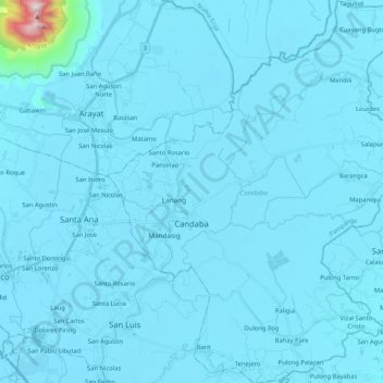
Name: Topografische Karte Candaba, Höhe, Relief.
Ort: Candaba, Pampanga, Central Luzon, 2014, Philippines (15.00828 120.78124 15.20970 120.95257)
Durchschnittliche Höhe: 24 m
Minimale Höhe: 0 m
Maximale Höhe: 989 m
Andere topografische Karten
Klicken Sie auf eine Karte, um ihre Topografie, ihre Höhe und ihr Relief anzuzeigen.
Angeles
Sapangbato is the largest barangay in Angeles in terms of territory, with a total land area of 104,694 sq. meters and a population of 11,262. Located northwest of Angeles near Clark Freeport Zone, it is identified as the barangay in Angeles with the highest elevation of 750 feet above sea level. It is home to…
Durchschnittliche Höhe: 128 m
Mount Arayat
Philippines > Pampanga > Arayat
Mount Arayat stands in the middle of the flat Central Luzon Plain, consisting of rice paddies and a typical elevation of about 15 to 35 metres MSL. The mountain is topped by a circular volcanic crater about 1.2 kilometres (0.75 mi) in diameter, much of which has collapsed on the western and part of the…
Durchschnittliche Höhe: 639 m