
Topografische Karte Airão (São João Batista)
Interaktive Karte
Klicken Sie auf die Karte, um die Höhe anzuzeigen.
Über diese Karte
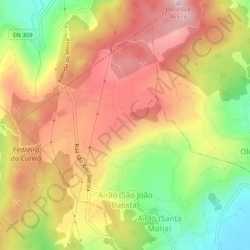
Name: Topografische Karte Airão (São João Batista), Höhe, Relief.
Durchschnittliche Höhe: 326 m
Minimale Höhe: 164 m
Maximale Höhe: 457 m