
Topografische Karte Elwood
Interaktive Karte
Klicken Sie auf die Karte, um die Höhe anzuzeigen.
Über diese Karte
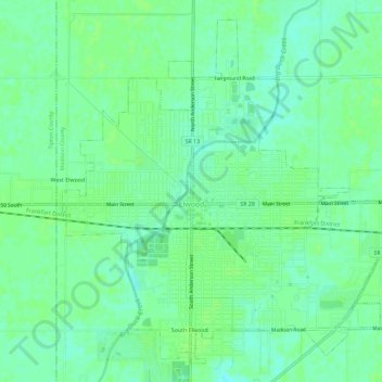
Name: Topografische Karte Elwood, Höhe, Relief.
Ort: Elwood, Madison County, Indiana, 46036, United States (40.25870 -85.86134 40.29809 -85.80396)
Durchschnittliche Höhe: 264 m
Minimale Höhe: 258 m
Maximale Höhe: 266 m
Andere topografische Karten
Klicken Sie auf eine Karte, um ihre Topografie, ihre Höhe und ihr Relief anzuzeigen.
Hillcrest
United States > Indiana > Madison County > Anderson
Hillcrest, Anderson, Madison County, Indiana, 46016, United States
Durchschnittliche Höhe: 269 m
Mounds State Park
United States > Indiana > Madison County > Anderson
Mounds State Park, Anderson, Madison County, Indiana, United States
Durchschnittliche Höhe: 276 m
Frankton
United States > Indiana > Madison County > Frankton
Frankton, Madison County, Indiana, United States
Durchschnittliche Höhe: 259 m
Alexandria
United States > Indiana > Madison County
Alexandria, Madison County, Indiana, 46001, United States
Durchschnittliche Höhe: 268 m