
Topografische Karte Mount McKinley
Interaktive Karte
Klicken Sie auf die Karte, um die Höhe anzuzeigen.
Über diese Karte
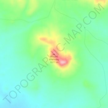
Name: Topografische Karte Mount McKinley, Höhe, Relief.
Durchschnittliche Höhe: 980 m
Minimale Höhe: 937 m
Maximale Höhe: 1.086 m
Andere topografische Karten
Klicken Sie auf eine Karte, um ihre Topografie, ihre Höhe und ihr Relief anzuzeigen.
Brandon
United States of America > South Dakota > Brandon
Brandon, Minnehaha County, South Dakota, 57005, United States of America
Durchschnittliche Höhe: 419 m
Ordway
United States of America > South Dakota > Ordway
Ordway, Brown County, South Dakota, United States of America
Durchschnittliche Höhe: 399 m
Clear Lake
United States of America > South Dakota > Clear Lake
Clear Lake, Deuel County, South Dakota, 57226, United States of America
Durchschnittliche Höhe: 553 m
Mount Coolidge
United States of America > South Dakota
Mount Coolidge, Custer County, South Dakota, United States of America
Durchschnittliche Höhe: 1.631 m
Chinatown
United States of America > South Dakota > Deadwood > Chinatown
Chinatown, Deadwood, Lawrence County, South Dakota, 57732, United States of America
Durchschnittliche Höhe: 1.503 m