
Topografische Karte Corinne
Klicken Sie auf die Karte, um die Höhe anzuzeigen.
Über diese Karte
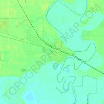
Name: Topografische Karte Corinne, Höhe, Relief.
Ort: Corinne, Box Elder County, Utah, United States (41.53507 -112.14895 41.56461 -112.08881)
Durchschnittliche Höhe: 1.288 m
Minimale Höhe: 1.281 m
Maximale Höhe: 1.295 m
Andere topografische Karten
Klicken Sie auf eine Karte, um ihre Topografie, ihre Höhe und ihr Relief anzuzeigen.
Hansel Mountains
United States > Utah > Box Elder County
Located in northeast Box Elder County, the southwest of the range abuts the Locomotive Springs State Wildlife Management Area; the northeast end of the range ends at a lower elevation divide between the North Hansel Mountains that lie on the Utah-Idaho border. Snowville lies on Deep Creek in the Sage Valley to…
Durchschnittliche Höhe: 1.472 m