
Topografische Karte Annai
Interaktive Karte
Klicken Sie auf die Karte, um die Höhe anzuzeigen.
Annai
Annai stands at an altitude of 95 metres (314 feet), at the edge of the Rupununi savannah, where the cattle trail to the Atlantic coast begins. It is nestled in the foothills of the Pakaraima Mountains, and is close to the Rupununi River. Annai, considered to be the gateway to the Rupununi, is approximately 15 miles (24 km) north of Karanambo and is 416 km (258 mi) by road from the nation's capital, Georgetown.
Über diese Karte
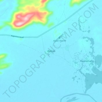
Name: Topografische Karte Annai, Höhe, Relief.
Durchschnittliche Höhe: 101 m
Minimale Höhe: 73 m
Maximale Höhe: 422 m