
Topografische Karte Abrahám
Interaktive Karte
Klicken Sie auf die Karte, um die Höhe anzuzeigen.
Über diese Karte
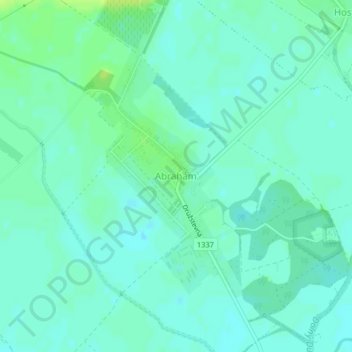
Name: Topografische Karte Abrahám, Höhe, Relief.
Durchschnittliche Höhe: 125 m
Minimale Höhe: 120 m
Maximale Höhe: 133 m
The municipality lies at an elevation of 125 metres and covers an area of 15.78 km2 (6 sq mi). It has a population of about 1075 people.