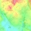
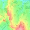
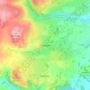
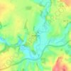
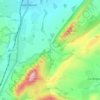
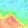
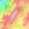
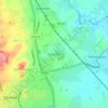
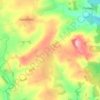
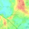
Topografische Karte Smethcott
Klicken Sie auf die Karte, um die Höhe anzuzeigen.
Smethcott
The name Smethcott has an Old English origin, and means "cottage(s) of the smiths". It was listed as a manor in the Domesday Book, where (spelt "Smerecote") it is recorded as having been held by Eldred, the tenant of its former owner Edmund, who now himself held it from a member of the Anglo-Norman nobility. A 13th century motte-and-bailey castle existed at Smethcott, of which now only the earthworks remain in a field near the church. The motte hill rises to an altitude of 247 metres (810 ft).
Über diese Karte

Name: Topografische Karte Smethcott, Höhe, Relief.
Ort: Smethcott, Shropshire, England, United Kingdom (52.56903 -2.87338 52.61085 -2.78404)
Durchschnittliche Höhe: 224 m
Minimale Höhe: 100 m
Maximale Höhe: 469 m
Andere topografische Karten
Klicken Sie auf eine Karte, um ihre Topografie, ihre Höhe und ihr Relief anzuzeigen.


Minton
United Kingdom > England > Shropshire > Church Stretton > Little Stretton
Durchschnittliche Höhe: 272 m

















Cothercott Hill
United Kingdom > England > Shropshire > Church Pulverbatch
Durchschnittliche Höhe: 342 m